NWP_TEAM2
URBAN HEAT ISLAND
Research 1 - Landcover Type
Urban 100
Cropland 100
Water Bodies 100
Mixed Forest 100
Research 1 presents the differences in variables according to four basic types of land cover environment. The USGS LandUse option is an updated version that revises errors with missing height scale dimensions and map scale factors in the initial version. To simulate each case, we use the USGS index 1, representing 'Urban and built-up land' for urban area, index 5 'Cropland/Grassland Mosaic' for cropland case, index 16 'Water Bodies' for water bodies, and index 15, 'Mixed Forest'.
1. Urban
Urban 100
Wind Vector on Temperature Contour

Relative Humidity
x-wind component

z-wind component
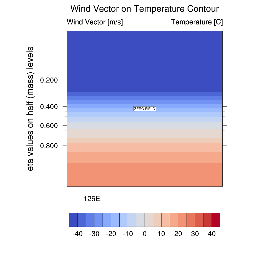
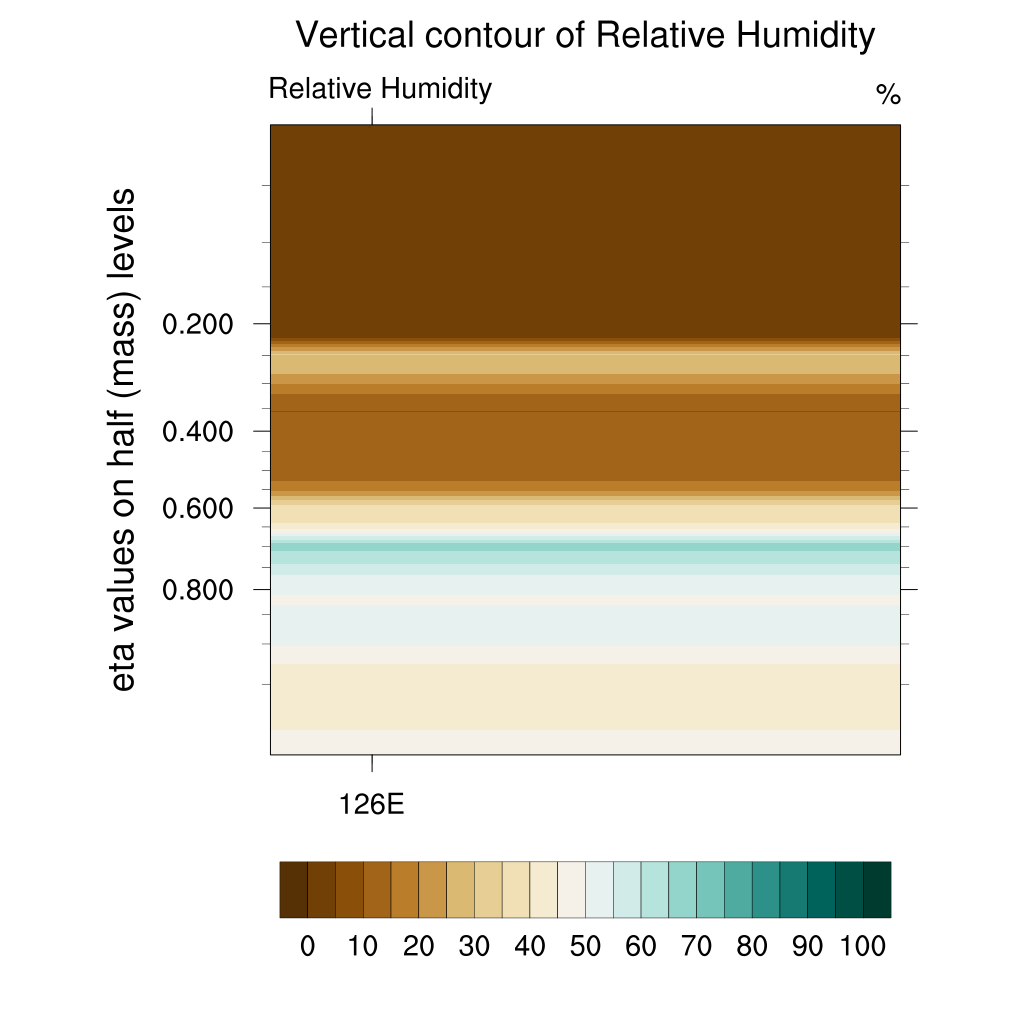
In the urban case, overlay and x-wind data confirm that horizontal winds (particularly in the -x direction) are strong near the surface. Relative humidity shows a tendency to increase over time, and while there is some updraft activity, it is weaker than in cropland or mixed forest.
2. Cropland
Cropland 100

Wind Vector on Temperature Contour
Relative Humidity

x-wind component
z-wind component
In cropland case, this configuration shows the strongest vertical wind component. Similar to urban and other cases, temperature decreases over time while relative humidity increases.
3. Water Bodies
Water Bodies 100

Wind Vector on Temperature Contour

Relative Humidity

x-wind component

z-wind component
In water bodies case, near the surface, relative humidity is highest, and vertical wind circulation is weakest. The changes in x-wind are most pronounced in the upper levels.
4. Mixed Forest
Mixed Forest 100

Wind Vector on Temperature Contour

Relative Humidity

x-wind component

z-wind component
In mixed forest case, updrafts are active near the surface, but they weaken over time. Upper-level winds are weakest in this configuration.